
We combine satellite analytics, drone imaging, and on-ground expertise to deliver scientific farming recommendations that maximize your yield by up to 40%.
Traditional farming relies on guesswork, uniform applications across fields that have zero uniformity. The result: wasted inputs, yield variability, and environmental damage. Precision Farming solves this with three simple principles:
Not calendar. Not tradition. Science.
Every action, planting, fertilizing, spraying, irrigating, harvesting, has a scientifically optimal window determined by growth stage (GDD), weather conditions, and pest lifecycles.
Exact. Measured. Justified.
Instead of blanket application, each zone receives exactly the input it needs, calculated from soil tests (pH, EC, NPK), satellite NDVI, and evapotranspiration (ETc × Kc).
Zone-specific. GPS-precise. Variable-rate.
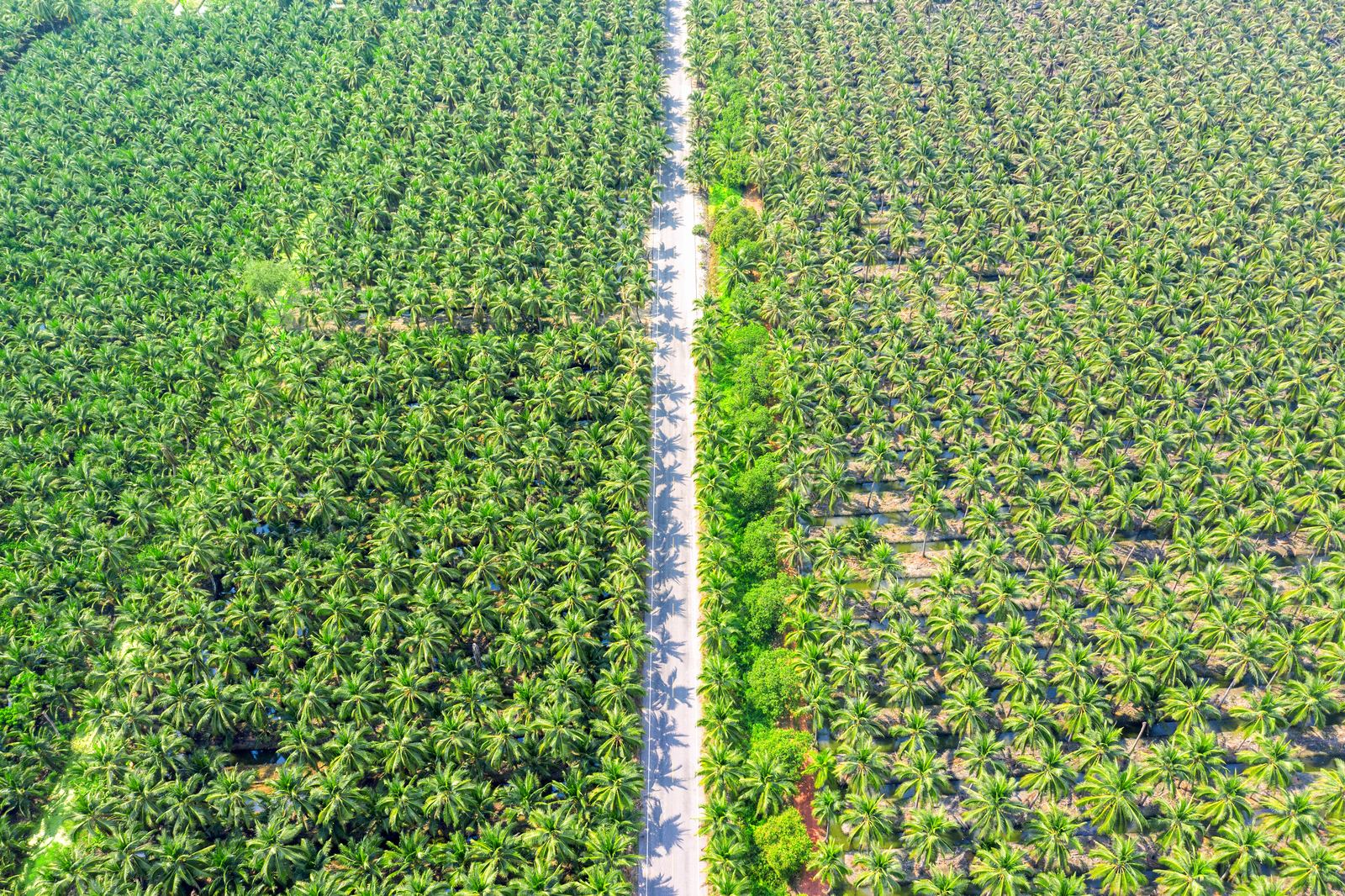
Every field has 3–8 distinct management zones with different soils, slopes, and microclimates. Uniform treatment wastes inputs on healthy zones and starves problem zones.
Built on industry-standard satellite data, tools and agricultural research
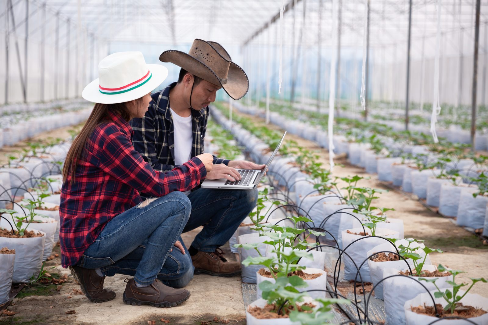
We are an end-to-end precision agriculture company. Our team combines satellite remote sensing, drone analytics, and experienced agronomists on the ground to deliver farming recommendations that raise yield and cut input waste.


To democratize precision agriculture by making satellite-grade analytics accessible to every farmer, enabling data-driven decisions from sowing to harvest.

We handle the complete cycle on your behalf: data collection, analysis, recommendations, execution on the ground, and ongoing monitoring. Qualified agronomists lead every decision, supported by our AI tools.
Five-plus years of hands-on agronomy now packaged into a full-service company. We target 30 to 40 percent yield uplift across coconut, arecanut, nutmeg, tomato, brinjal and other commercial vegetables, backed by drip, fertigation, IPM and satellite-driven decisions.
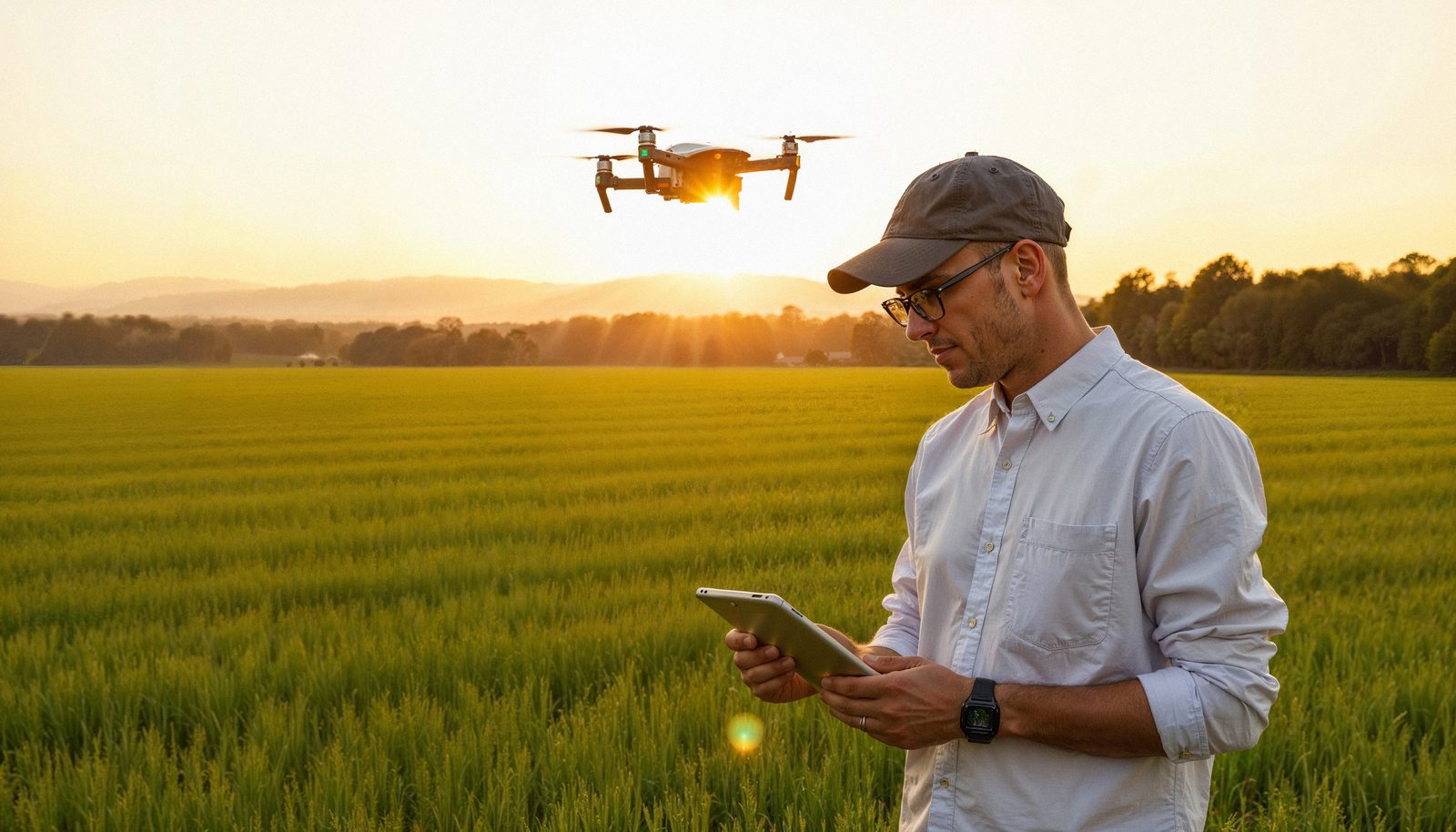
Multi-source data acquisition from satellites, drones, smart wearables, and field inspections.
AI-powered processing of NDVI, soil moisture, weather, and crop health indices.
Crop-specific, zone-level actionable recommendations validated by expert agronomists.
On-ground implementation of farming strategies with hands-on agronomist support.
Continuous satellite and field monitoring with weekly reporting and real-time alerts.
Advisory, protected cultivation, irrigation, solar power, finance and more. Every service our clients ask for, delivered by one team.
Data-driven, crop-specific recommendations powered by satellite analytics and AI. Our agronomists create customized farm plans that account for soil type, climate patterns, and market dynamics.

Industry-first per-tree monitoring system. Every coconut tree is tagged with a unique ID, health-tracked individually via satellite and field data, with yield predictions at the tree level.
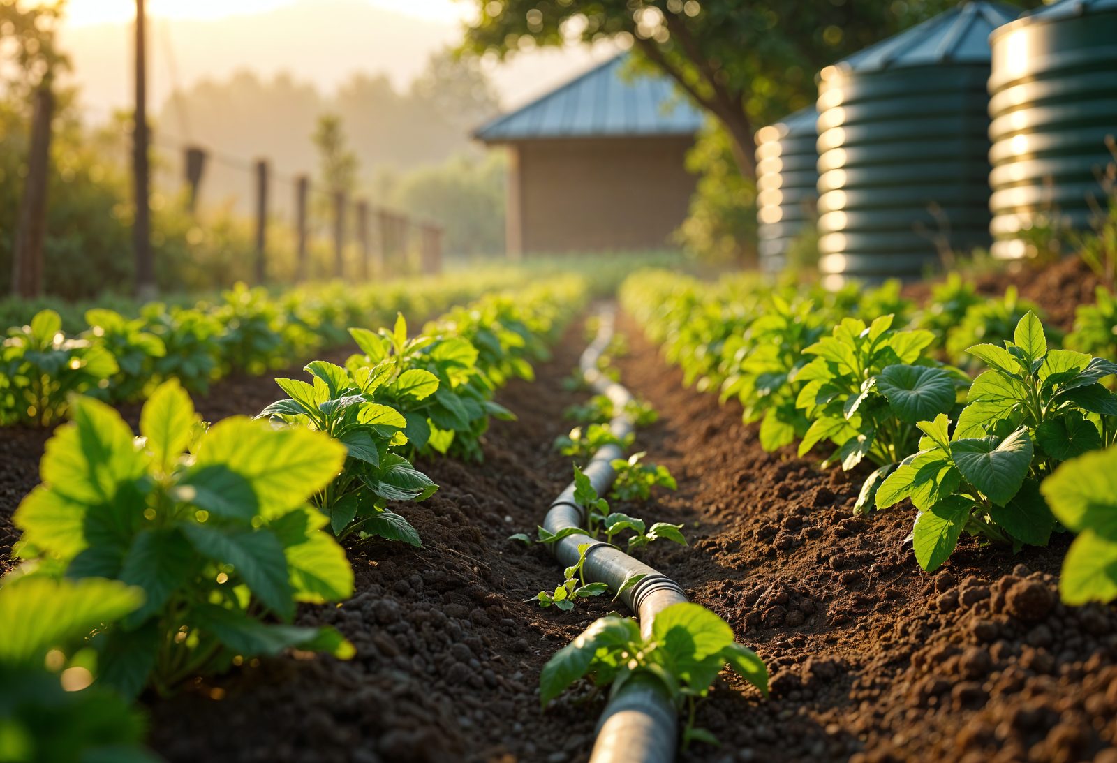
Soil moisture data from satellites combined with weather forecasts to optimize every drop of water. We design, install, and manage precision drip irrigation systems.
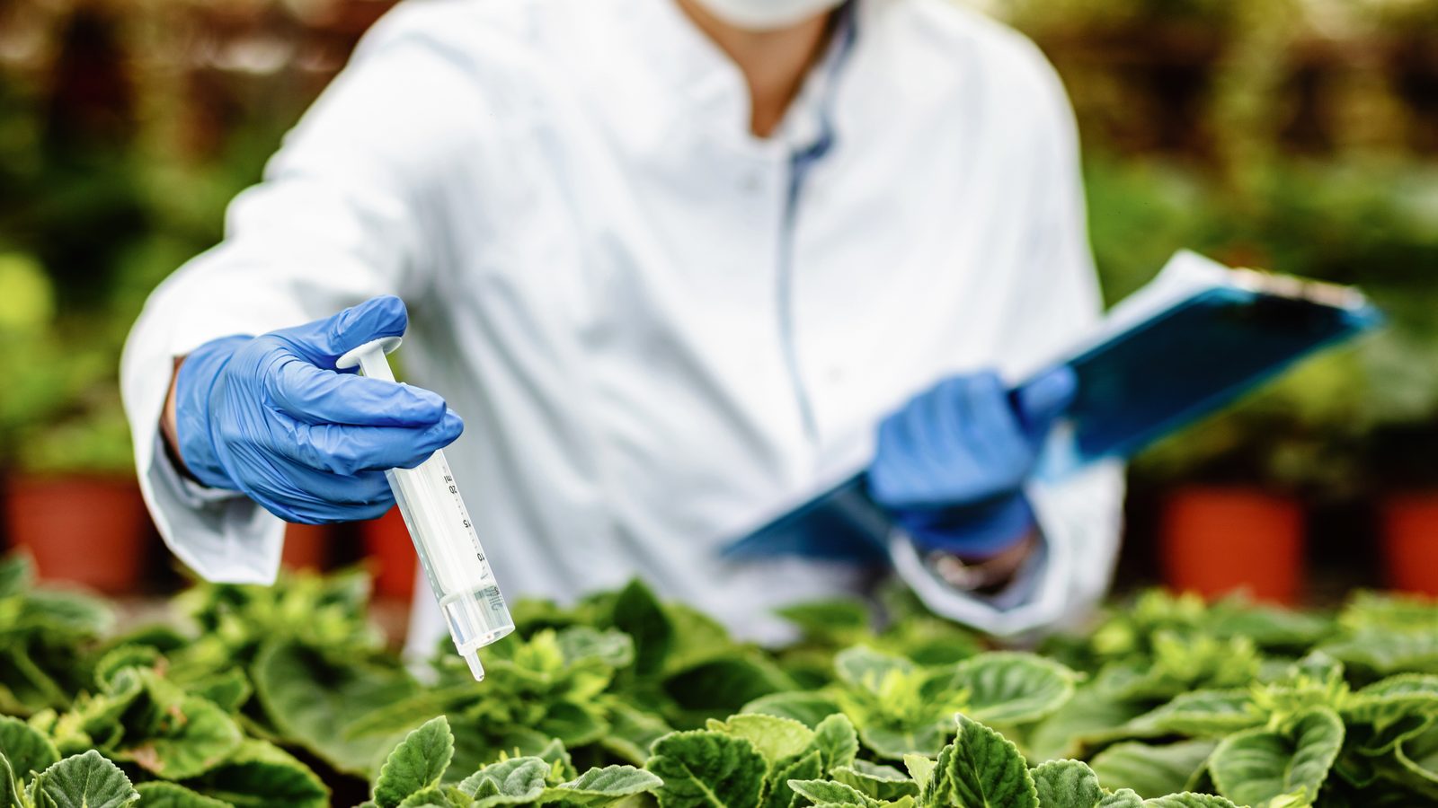
Soil-test-driven nutrient prescriptions that eliminate waste. We calculate exact NPK requirements based on soil composition, crop stage, and satellite-derived vegetation indices.
AI-powered early detection using multispectral drone imaging and satellite anomaly detection. We identify pest infestations 2-3 weeks before visible symptoms appear.
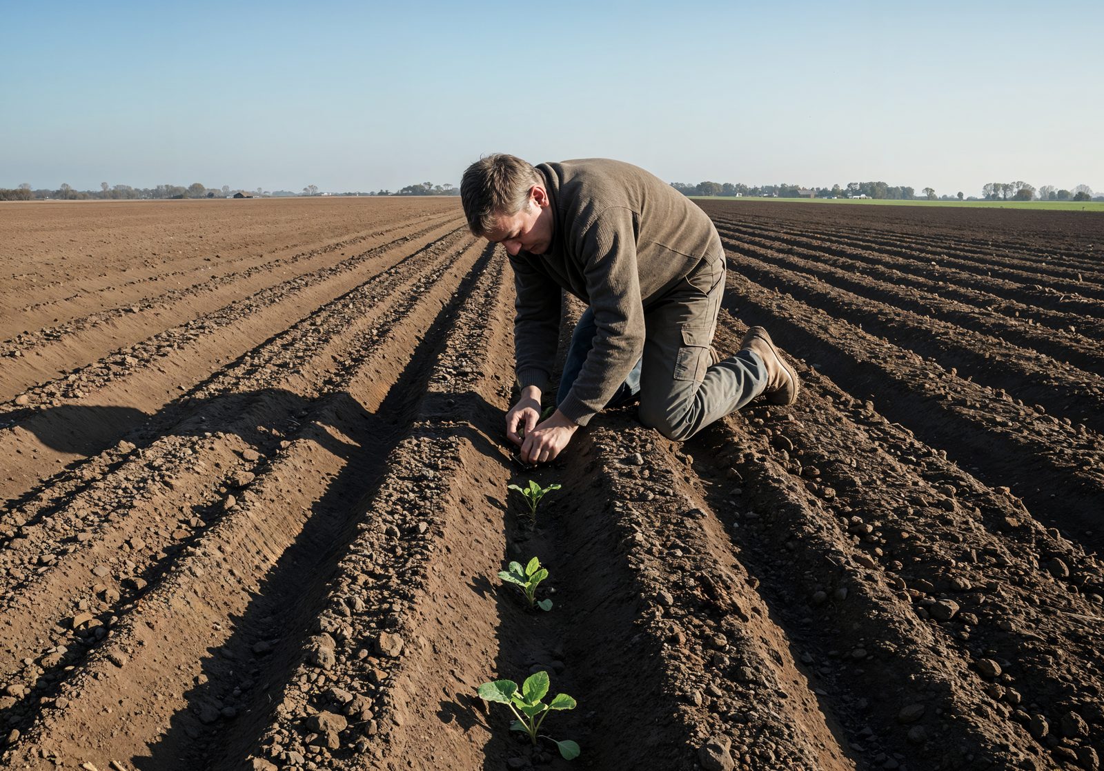
Complete farm setup from barren land to productive plantation. Land preparation, trench making, optimal plantation layout, and multi-crop planning designed for maximum returns.
Complete solar power systems for pumps, cold rooms, and farm operations, plus supporting infrastructure: cold storage, pack-houses, pump houses, fencing. Cut your energy bill to zero while earning PM-KUSUM subsidies up to 90%.
Navigate the complex landscape of agricultural financing. We assist with Agri Infrastructure Fund applications, subsidy documentation, and loan facilitation for farm development projects.
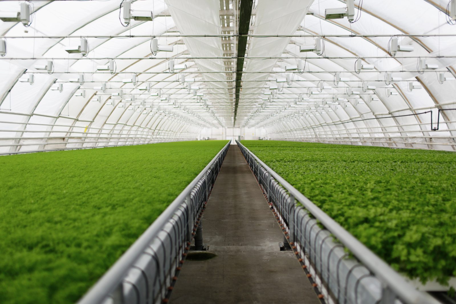
Complete protected-farming systems, polyhouses, net houses, low tunnels, fully-closed climate rooms, and fan-pad cooling, with soilless hydroponic cultivation and satellite-integrated climate control for year-round, weather-proof production.
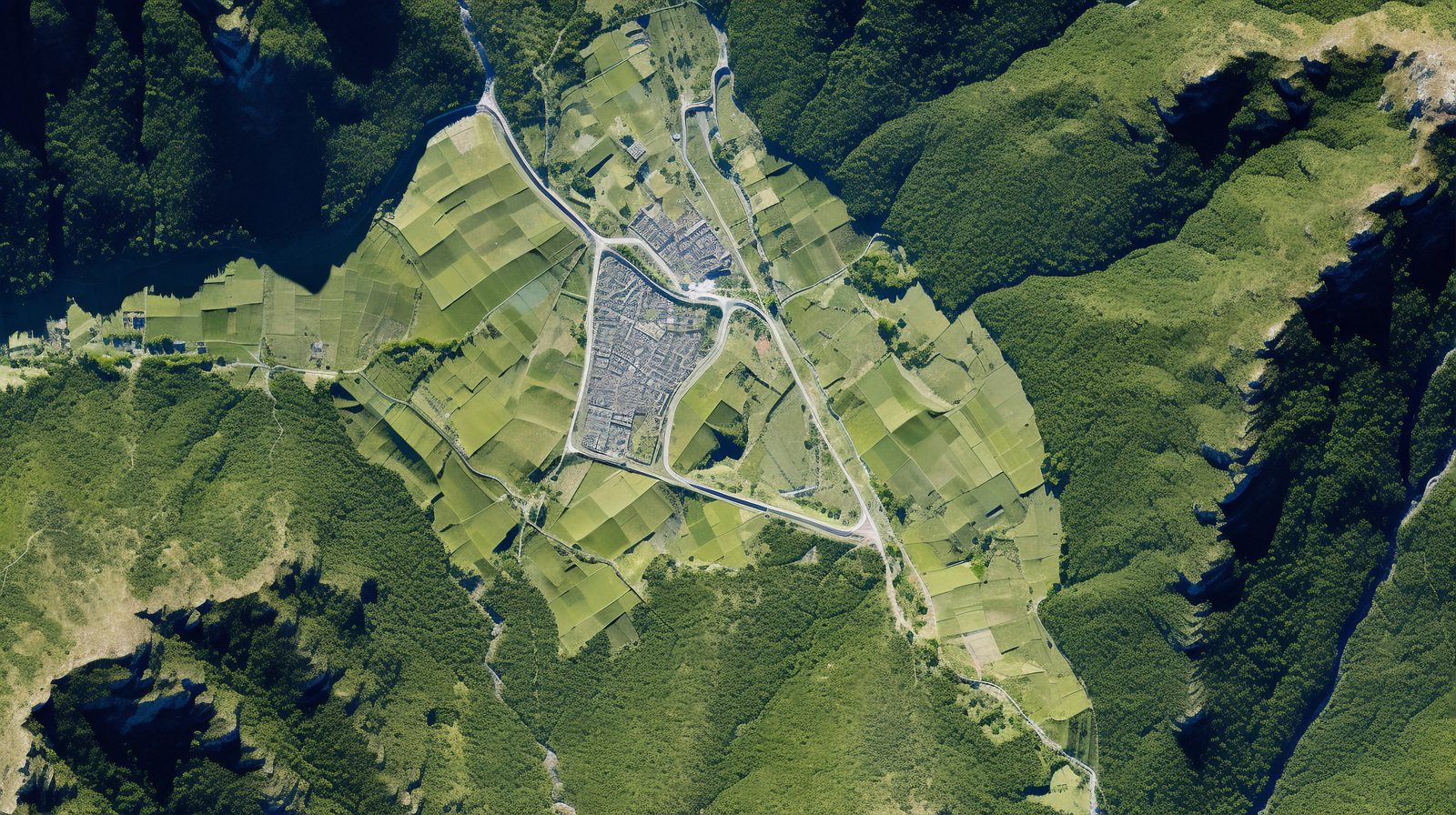
Drone-powered aerial mapping creates centimeter-accurate orthomosaics, 3D terrain models (DEM/DTM), and multi-layer GIS overlays. Every field converted into a digital twin.
Engineered irrigation systems built on Hazen-Williams & Darcy-Weisbach hydraulic equations. Optimal pipe sizing, pressure distribution, and emitter uniformity guaranteed.
We visit your farm, study your land, and hand you a custom intercrop plan, designed to start earning in 90-180 days while your primary crop keeps growing.
Share your farm details and we'll deliver a satellite-grade baseline report within 48 hours, no commitment required.
Our team of agronomists, remote sensing scientists, and hydraulic engineers is ready to design a precision plan tailored to your soil, crop, and climate.